OSU Organic Growers' Club- Student Farm
1. What is this project’s direct connection to soil?
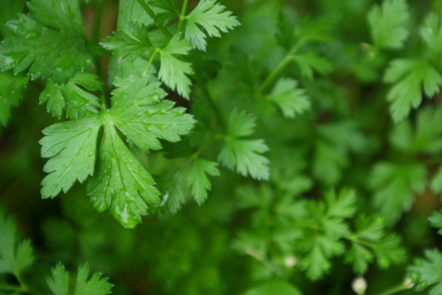
Without soil there would be no student farm, or any farms at all. Soil is one of the most vital components to growing life.
2. How does soil make this project work? – be specific - show data, evidence, research.
The soil on the farm has a relatively high cation exchange capacity (20-40 cmols/kg) as well as a high percentage of organic matter (5-10%). Both of these create a good environment for soil organisms and plants to grow.
3. Is there a way that soil management changes could improve this project?
Currently the farm uses a no-till practice. 13 years ago when the farm was first developed, they tilled once and haven’t tilled yet. This promotes a low bulk density, stable soil aggregates, and a large and diverse macropore structure, which are the three requirements for good soil management. The student farm has a 7 year crop rotation to maximize the nutrients held in the soil, and to create a more diverse habitat for soil organism that promote healthy crops. They are already using very good soil management practices.
6. Soil description of the place where you worked - this must include a soils map and soil series descriptions of important soils within the area. (Insert soils map)
According to the web soil survey, the soil at the student farm is a Chehalis silty clay loam, however the two different sides of the farm have very different soil types. The farm is separated by a hilly partition that contains a side that is more sandy, and a side that is more clayey. The sandy side is used to grow yearly crops, because it has good drainage. The large amount of clay in the clayey side takes a long time to dry out every year enough to plant crops, and thus is used for perennials such as berries.

SIX QUESTIONS
4. From this project, what did you learn about soils that you did not know before?
It was very interesting to experience first-hand the interaction between soil and plants. A lot of the information we learned in lecture was synthesized through our hands-on experience with the farm.
5. What is the broader impact of the organization or project you helped with?
The student farm project was developed by agricultural students who, according to their homepage thought that “at some point in their academic careers they should put a seed in the ground, take care of it, and harvest the benefits of that effort.” The farm produces crops that they sell in the ALS building, as well as give to the local food pantries. It is a learning experience as well as a source of food for people who want and need it.


LOCATION CHEHALIS WA+OR
Established Series
Rev. JJR/CJM/RWL
07/2006
CHEHALIS SERIES
The Chehalis series consists of very deep, well drained soils that formed in silty and loamy mixed alluvium. Chehalis soils are nearly level to undulating flood plains. The mean annual precipitation is about 50 inches and the mean annual temperature is about 52 degrees F.
TAXONOMIC CLASS: Fine-silty, mixed, superactive, mesic Cumulic Ultic Haploxerolls
TYPICAL PEDON: Chehalis silt loam - cultivated. (Colors are for moist soil unless otherwise noted.)
Ap--0 to 8 inches; very dark grayish brown (10YR 3/2) silt loam, brown (10YR 5/3) dry; moderate fine subangular blocky structure; hard, friable, slightly sticky and slightly plastic; many medium and fine roots; very porous; moderately acid (pH 5.6); abrupt smooth boundary. (4 to 10 inches thick)
A--8 to 12 inches; dark brown (10YR 3/3) silt loam, brown (10YR 5/3) dry; moderate fine subangular blocky structure; hard, friable, slightly sticky and slightly plastic; many fine roots; very porous; moderately acid (pH 6.0); clear smooth boundary. (2 to 25 inches thick)
Bw1--12 to 24 inches; dark brown (10YR 3/3) heavy silt loam, brown (10YR 5/3) dry; strong fine subangular blocky structure; hard, friable, moderately sticky and moderately plastic; common fine roots; many fine tubular pores; slightly acid (pH 6.2); gradual smooth boundary. (8 to 26 inches thick)
Bw2--24 to 52 inches; dark brown (10YR 3/3) silty clay loam, brown (10YR 5/3) dry; strong fine subangular blocky structure; hard, friable, modetately sticky and moderately plastic; common fine roots; many fine tubular pores; slightly acid (pH 6.4); abrupt smooth boundary. (0 to 30 inches thick)
C--52 to 72 inches; dark yellowish brown (10YR 4/4) silt loam with thin strata of fine sandy loam to silty clay loam, light yellowish brown (2.5Y 6/4) dry; massive; slightly hard, friable, slightly sticky and slightly plastic; many fine and medium tubular pores; neutral (pH 6.8).
TYPE LOCATION: Grays Harbor County, Washington; 1/2 mile west of Porter; about 2,250 feet east and 100 feet south of the northwest corner, section. 28, T. 17 N., R. 5 W.
RANGE IN CHARACTERISTICS: The mollic epipedon is 24 to more than 60 inches thick. These soils are usually moist, but are dry in all parts between depths of 4 and 12 inches for 45 to 60 consecutive days. The mean annual soil temperature is 52 to 55 degrees F. The particle-size control section is silt loam or silty clay loam with 20 to 35 percent clay and 0 to 5 percent rock fragments. Hue is 2.5Y through 7.5YR.
The A or Ap horizons have value of 2 or 3 moist, 4 or 5 dry and chroma of 2 or 3 moist or dry. It has weak to strong subangular blocky or granular structure. Texture is silt loam, silty clay loam or silty clay with 0 to 5 percent gravel. Reaction is slightly or moderately acid.
The Bw1 horizon has value of 2 or 3 moist, 4 or 5 dry and chroma of 2 or 3 moist and dry. The Bw2 horizon has value of 2 to 4 moist, 4 to 6 dry and chroma of 2 or 3 moist or dry. Dry value of 6 occurs below 24 inches in some pedons. Texture is heavy silt loam or silty clay loam with 0 to 5 percent gravel. It has moderate or strong subangular blocky structure. Reaction is neutral to moderately acid.
The C horizon has value of 3 or 4 moist, 4 to 6 dry, and chroma of 3 or 4 moist and 2 to 4 dry. Texture is silt loam, silty clay loam, loam, fine sandy loam or very fine sandy loam and may be stratified. It has 0 to 15 percent gravel. It has weak or moderate structure or is structureless. Reaction is neutral to moderately acid.
COMPETING SERIES: There are no competing series.
GEOGRAPHIC SETTING: The Chehalis soils are on flood plains at elevations of 30 to 1,600 feet. They formed in silty and loamy mixed alluvium. Slopes are 0 to 3 percent. These soils occur in a climate having cool, dry summers, and cool, wet winters. The average annual precipitation is 30 to 70 inches. The average January temperature is 39 to 40 degrees F. and the average July temperature is 64 to 67 degrees F. The mean annual temperature is 50 to 55 degrees F. The average frost-free season (32 degrees F) is 150 to 235 days.
GEOGRAPHICALLY ASSOCIATED SOILS: These are the Abiqua, Camas, Chapman, Clato, Cloquato, Galvin, Godfrey, McBee, Newberg, Reed, Waldo and Wapato soils. Abiqua soils are fine family and are on terraces or alluvial fans. Clato soils are coarse-silty and have an ochric epipedon. Galvin soils do not have a mollic epipedon, have an argillic horizon, and are somewhat poorly drained. Godfrey and Reed soils are fine and have an aquic moisture regime. Camas soils are sandy-skeletal and are on bar positions. Chapman soils are fine-loamy and are on higher flood plains. Cloquato soils are coarse-silty. Newberg soils are
coarse-loamy and have a mollic epipedon less than 20 inches thick. Waldo and Wapato soils are poorly drained and are in depressions and flood plains. McBee soils are in depressions on flood plains.
DRAINAGE AND PERMEABILITY: Well-drained; slow runoff; moderate permeability. Chehalis soils are subject to occasional flooding for brief periods from November to April.
USE AND VEGETATION: These soils are used mostly for cropland, hay and pasture.Native vegetation is Douglas fir, red alder, grand fir, western redcedar, bigleaf maple and Oregon oak with an understory of vine maple, trailing blackberry, western swordfern, western brackenfern, Oregon grape, wild ginger, violet, and western rattlesnake plantain.
DISTRIBUTION AND EXTENT: Western Washington and Oregon; MLRA 1. Series is of moderate extent.
MLRA SOIL SURVEY REGIONAL OFFICE (MO) RESPONSIBLE: Portland, Oregon
SERIES ESTABLISHED: Western Puget Sound Basin, Washington, 1910.
REMARKS: Diagnostic horizons and features recognized in this pedon are:
Mollic epipedon - the zone from 0 to 52 inches with an assumed irregular decrease in organic carbon with depth.
Ultic feature - base saturation (sum) of 75 percent or less in at least one horizon between a depth of 10 and 30 inches.
Particle-size control section - the zone from 10 to 40 inches.
Classification change 6/98 based on Soil Taxonomy CEC activity classes.
ADDITIONAL DATA: Laboratory data available for this series. Sample numbers S91OR-047-001, NSSL, Lincoln, NE and S72WA-021-007, NSSL, Riverside, CA.
National Cooperative Soil Survey
U.S.A.
Retrieved From https://soilseries.sc.egov.usda.gov/OSD_Docs/C/CHEHALIS.html